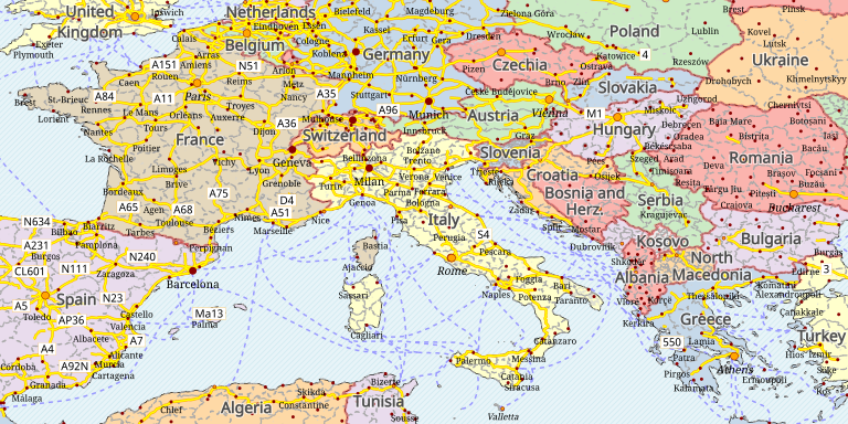
A world political map based on Natural Earth and GeoCSS
Natural Earth provides a set of layers suitable for building a low scale World political map, starting from whole world view and going down to 1:2 million (the actual data accuracy is suitable for 1:10M).
The final result will look roughly as follows: