
KML Regionation
Super-overlays are a form of KML in which data is broken up into a pyramid of regions (tiles) and served according to the current scale.
This allows Google Earth to refresh/request only particular regions of the map when the view area changes, and avoid Google Earth from slowing down or crashing due to data overload.
Super-overlays are used to efficiently publish large sets of data. GeoServer’s KML output options allow to specify the criteria used to place data in the various pyramid zoom levels.
Note
The most important aspect of regionation is to decide how to determine which features show up more prominently than others. This can be done either by geometry, or by attribute. One should choose the option that best exemplifies the relative “importance” of the feature. When choosing to regionate by geometry, only the larger lines and polygons will be displayed at higher zoom levels, with smaller ones being displayed when zooming in. When regionating by an attribute, the higher value of this attribute will make those features show up at higher zoom levels.
GeoServer allows a set of Regionation strategies to determine which features should be shown at any given time or zoom level:
Strategy Description best_guess(default) The actual strategy is determined by the type of data being operated on. If the data consists of points, the randomstrategy is used. If the data consists of lines or polygons, thegeometrystrategy is used.external-sortingCreates a temporary auxiliary database within GeoServer. It takes slightly extra time to build the index upon first request. native-sortingUses the default sorting algorithm of the backend where the data is hosted. It is faster than external-sorting, but will only work with a store backed by DBMS (PostGIS, Oracle, ...) and requires the column in question to be indexed to get good performance. geometryExternally sorts by length (if lines) or area (if polygons). randomUses the existing order of the data, does not perform any sorting. To set a different Regionation startegy go to the
Welcome pageand click theLayerslink on the menuData section.Edit an existing layer clicking on its
Layer Namelink (for examplestates).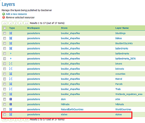
The Layers page
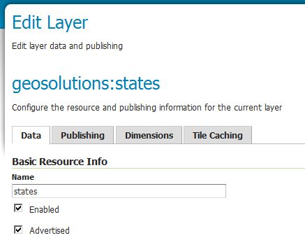
The geosolutions:states layer editor
Click on
Publishingtab and scroll to the bottom toKML Format Settingsection. Now select yourAttributeandMethodfrom theRegionationcombo box and click the Save button.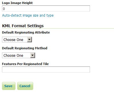
The Regionation settings
Note
By default the best_guess strategy in used.