
OGC API - Maps
This module introduces the OGC API - Maps implementation, in particular, it shows how to perform discovery operations on collections of geospatial data and how to obtain maps from them.
Warning
GeoServer has an incomplete implementation of the current draft specification, which is still evolving. As examples no HTML output is provided yet for Maps and Layer Groups support is incomplete.
Discovery operations
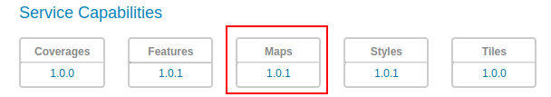
The OGC API Maps Service is accessed via the Maps version 1.0 link on the home page.
The collections page, available at /collections provides a list of all the collections that can be served as maps. The list comprises all the configured layers and layer groups in GeoServer. The list can be requested in a number of output format (eg. text/html, application/json, application/x-yaml).
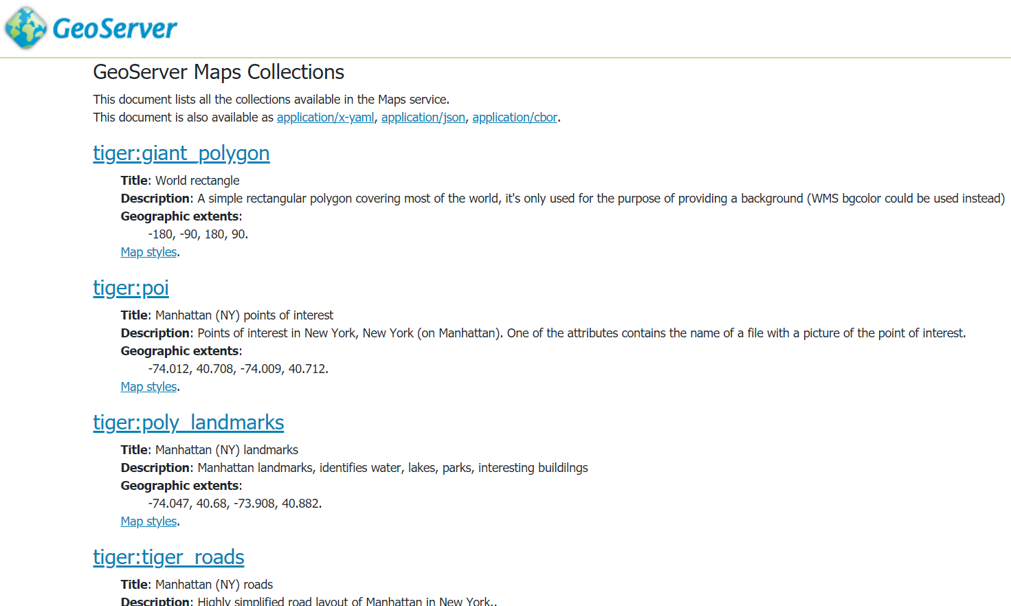
HTML representation of available collections
The details of a collection ara available at /collections/{collectionId} in various output format. From UI it will be possible to obtain the collection details in an HTML representation by clicking on the collection name.
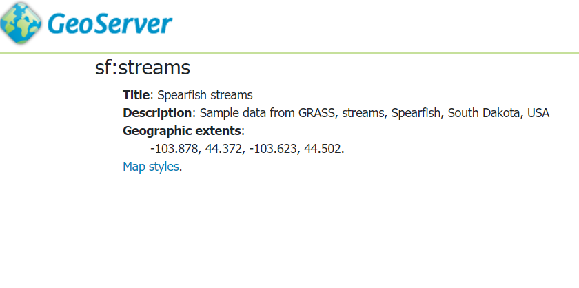
HTML representation of sf:streams collection details
The list of styles applied to the collection can be requested at /collections/{collectionId}/styles.
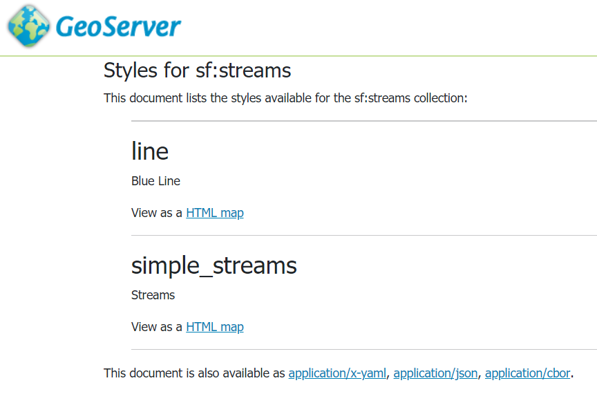
HTML representation of the list of the sf:streams collection styles
Maps
The map representation of a collection with a given style can be requested at /collections/{collectionId}/styles/{styleName}/map.
For instance this request
http://localhost:8083/geoserver/ogc/maps/v1/collections/sf:streams/styles/line/map?f=image/png
retrieves the map for sf:streams with the line style.
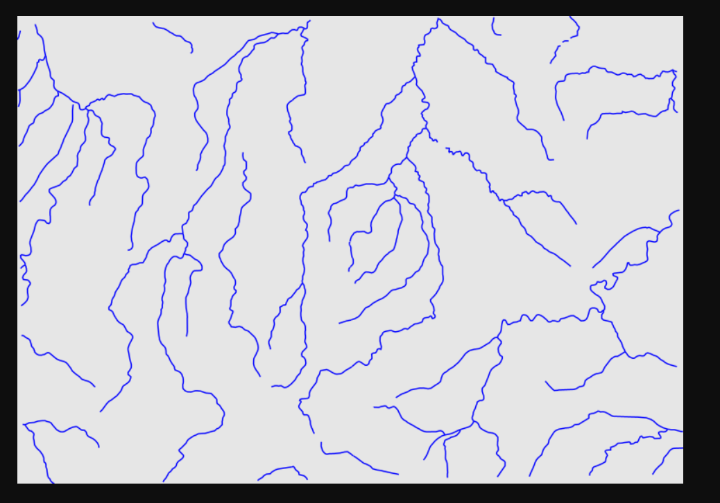
Default sf:streams map
It is worth mentioning that when using the OGCAPI - Maps service we don’t have to specify all the parameters that are mandatory in WMS (eg. height, width, bbox, crs and so on). Indeed they are automatically filled by GeoServer. The client is then able to fill only those needed.
The following request for instance adds the crs and the width parameters:
http://localhost:8083/geoserver/ogc/maps/v1/
collections/sf:streams/styles/line/
map?f=image/png&crs=EPGS:26713&width=200
getting a smaller image in a different CRS by the default one that is EPSG:4326.
This request adds also a bounding box to obtain a smaller area:
http://localhost:8083/geoserver/ogc/maps/v1/
collections/sf:streams/styles/line/
map?f=image/png&width=200&crs=EPSG:26713&bbox=595818.1692167784,4918417.953435432,603147.9094650361,4923571.677047489``
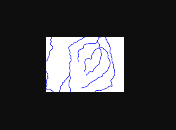
sf:streams map with specific width, CRS and bounding box
Feature Info
The OGCAPI - Maps core specitication does not contain a “feature info” service, but one may be added as a future extension.
GeoServer has a likely implementation of such concept.
The path to retrieve info is the following /collections/{collectionId}/styles/{styleName}/map/info.
As for map requests the server is able to fill most of the request parameters that in the corresponding WMS operation are mandatory.
In addition to the output format parameter f, the only mandatory parameters are indeed i and j, specifying the pixels coordinates of the element of interest, inside the image generated by the corresponding map request.
For instance the following request retrieves information about the element at coordinates 20,20 and doesn’t provide any additional parameter:
http://localhost:8083/geoserver/ogc/maps/v1/
collections/sf:streams/styles/line/map/info?f=text/html&i=20&j=10
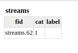
Feature information at pixel (20, 10) in the default sf:streams map
http://localhost:8083/geoserver/ogc/maps/v1/
collections/sf:streams/styles/line/map/
info?f=text/html&i=10&j=10&width=200&crs=EPSG:26713&bbox=595818.1692167784,4918417.953435432,603147.9094650361,4923571.677047489
instead specifies additionally the width of the image, the crs and the bounding box.
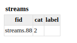
Feature info at pixel (10, 10), based on a customized map request with explicit bbox, CRS and width.