
Generating a KML Elevation
This section covers how to use GeoServer templates in conjunction with Google Earth support for ‘height’ to create a height visualizations.
Create the
height.ftlfile in%TRAINING_ROOT%\geoserver_data\workspaces\geosolutions\states\states\directoryOpen the
height.ftlwith a text editor and enter the following content:${PERSONS.value?number / 100.0}Save the
height.ftland navigate to the GeoServer Layers Preview.Click the KML link next to the geosolutions:states layer.
Generating KML with the map preview
In the resulting dialog choose to Open with Google Earth and OK (or double click on downloaded KML file)
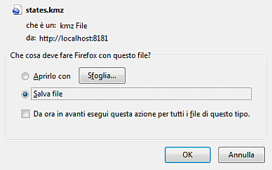
Opening KML from GeoServer with Google Earth
Zoom in until states show up in vector form, and then tilt the view to see them extruded.
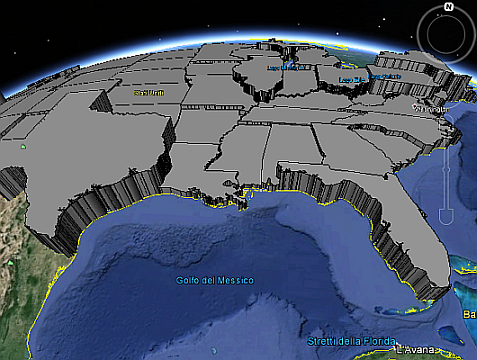
Viewing the States population layer in Google Earth