
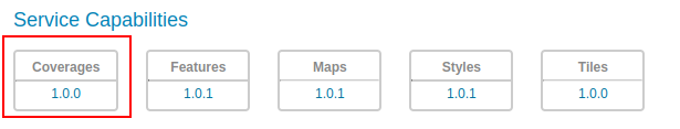
Coverages Service basics
The OGC API Coverages Service is accessed via the COVERAGES version 1.0 link on the home page.
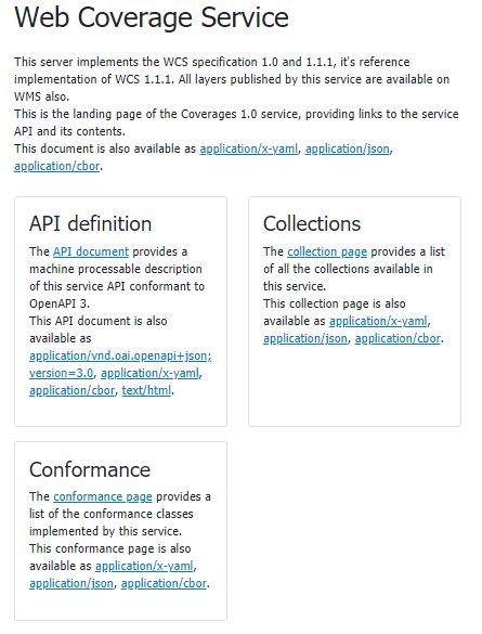
The landing page (at http://localhost:8083/geoserver/ogc/coverages/v1) provides clients with a starting point for using the API, through a collection of resources, with links for navigation between content.
The following screenshot shows the HTML representation of the landing page.
The landing page can also be represented as json, e.g.. http://localhost:8083/geoserver/ogc/coverages/v1?f=application/json. This representation provides the same information, in a form suitable for programmatic access by web developers.
The service title and description are provided by the existing Web Coverage Service (WCS) settings.
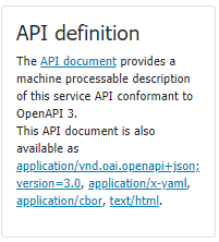
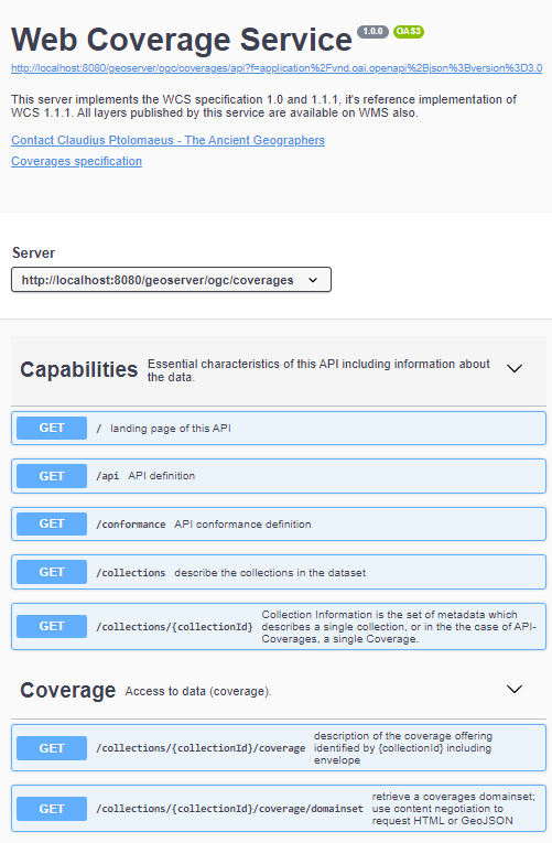
The API definition provides an OpenAPI description of the service is provided, that may be browsed as documentation, or used to generate a client to access the web services.
Collections and coverages
OGC API - Coverages provides access to collections of geospatial data. A collection is a generic concept for a set of related resources/items.
A collection can thus be a Coverage Collection when each of its items is a Coverage, but in the case of GeoServer, each collection is a coverage, in other terms, a raster layer (a collection of point sampling of a given phenomenon, one might say).
For each configured coverage layer in GeoServer a collection is provided. Each collection entry is described using the corresponding layer details: title, description, geographic extent.
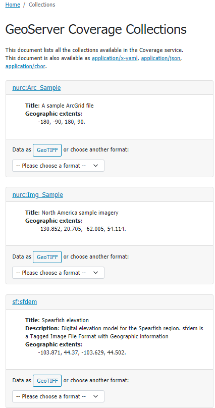
Collections page available at http://localhost:8083/geoserver/ogc/coverages/v1/collections?f=text/html
From the collection page it is possible to request a collection definition to retrieve more details and retrieve the collection data
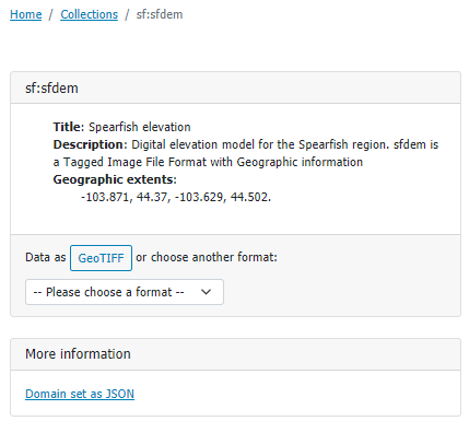
Spearfish collection page available at http://localhost:8083/geoserver/ogc/coverages/v1/collections/sf:sfdem?f=text/html
Data can be downloaded in the available suggested format (i.e. GeoTIFF), or downloaded in a range of formats available from the drop down list.
Data can be requested by adding /coverage path to the collection url and specifying the requested format (f) parameter, eg. http://localhost:8083/geoserver/ogc/coverages/v1/collections/sf:sfdem/coverage?f=image%2Fgeotiff