Styling in real world units
By default, SLD interprets all sizes expressed in the style sheet (e.g., line widths, symbol sizes) as being pixels on the map.
It is however possible to make the style sheet use real world units, e.g., meters or feet, by specifying the desired unit of measure as an attribute of the symbolizer. The supported unit of measure are:
- meter
- foot
- pixel
The following line style uses a line width of 40 meters:
<LineSymbolizer uom="http://www.opengeospatial.org/se/units/metre">
  <Stroke>
    <CssParameter name="stroke">#000033</CssParameter>
    <CssParameter name="stroke-width">40</CssParameter>
  </Stroke>
</LineSymbolizer>
Setting up an uom based style in GeoServer
Create a new style named
line40musing the following SLD:<?xml version="1.0" encoding="ISO-8859-1"?> <StyledLayerDescriptor version="1.0.0" xsi:schemaLocation="http://www.opengis.net/sld StyledLayerDescriptor.xsd" xmlns="http://www.opengis.net/sld" xmlns:ogc="http://www.opengis.net/ogc" xmlns:xlink="http://www.w3.org/1999/xlink" xmlns:xsi="http://www.w3.org/2001/XMLSchema-instance"> <NamedLayer> <Name>line40m</Name> <UserStyle> <Title>40 meter wide line</Title> <FeatureTypeStyle> <Rule> <LineSymbolizer uom="http://www.opengeospatial.org/se/units/metre"> <Stroke> <CssParameter name="stroke">#000033</CssParameter> <CssParameter name="stroke-width">40</CssParameter> </Stroke> </LineSymbolizer> </Rule> </FeatureTypeStyle> </UserStyle> </NamedLayer> </StyledLayerDescriptor>
Note
The CSS equivalent of this style is:
* {
  stroke: #000033;
  stroke-width: 40m;
}
Associate the
line40mstyle toMainRdlayer as a secondary style:
Adding the line40m style as a secondary style for Mainrd
Preview the
MainRdlayer and switch to theline40mstyle:
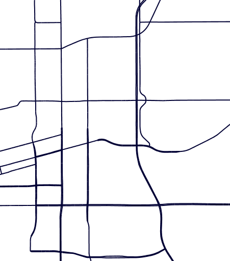
An uom based line, zoomed out
Zoom in and out and observe how the width of the line on screen varies by changing the zoom level

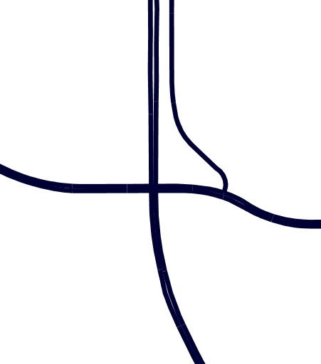
Zooming in on the same line
